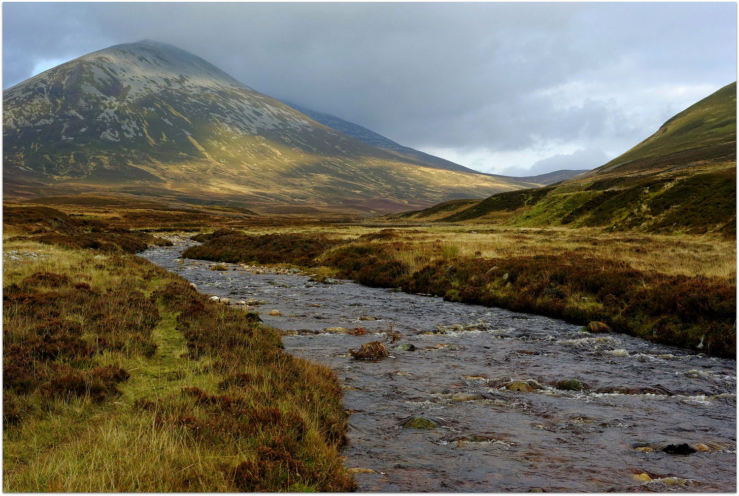
Glen Girnaig in Blair Atholl, more of a strath than a typical glen, is almost totally depopulated, but as is plain on the ground or from satellite imagery once supported a substantial population. 18th century estate records show that this was still the case in that period, when numerous place-names were recorded in forms far from Gaelic orthography. Veins of limestone contribute to the relative fertility of some patches for such high ground, and some grain was grown. But by the time of the first ‘6 inch’ OS map (surveyed 1862) many structures whose traces are clear in the satellite imagery were unrecorded, others were marked as roofless outlines, and others were named and shown as roofed but are now empty or in ruins. These ‘rickles o’ stanes’ belong to ‘Little Shinagag (in ruins)’. The adjacent burn ‘Allt an t-Sithein’ unmasks the first part of Shinagag as sìthean, ‘knoll or fairy hill’. W J Watson, in ‘Celtic Place-Names of Scotland’, attributed the river name Girnaig (Goirneag) to the root goir, earlier gair, ‘cry, shout’, together with Glen Girnock in Aberdeenshire, while Garnock (Ayrshire) and Dalgarnock (Dumfriesshire) had the earlier form of the root.